| dc.contributor.advisor | Dr. Khondkar Ayaz Rabbani | en_US |
| dc.contributor.author | Shuvo, Ragib Mahmood | |
| dc.date.accessioned | 2026-09-06T07:15:00Z | |
| dc.date.available | 2026-09-06T07:15:00Z | |
| dc.date.issued | 2026-09 | |
| dc.identifier.other | ID 2532007 | |
| dc.identifier.uri | https://ar.iub.edu.bd/handle/11348/1566 | |
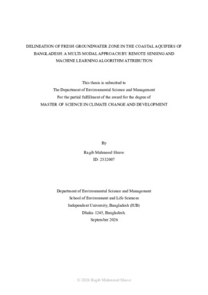
| dc.description | This thesis is submitted in partial fulfilment of the requirements for the degree of Master of Science (M. Sc.) in Climate Change And Development 2026. | |
| dc.description.abstract | Groundwater Salinity Intrusion in the coastal belts of Bangladesh poses a severe threat to the livability and livelihood of more than 20 million populations due to scarcity of freshwater. Climate change and anthropogenic activities is further exacerbating the salinity intrusion risks across these regions. This research aims to delineate the fresh groundwater potential zones in the six districts of the southwestern part of the coastal areas of Bangladesh with the help of remote sensing and machine learning approaches. 15 parameters were primarily selected to prepare the spatial layers which represent the topographic, meteorological, hydro-chemical and land use characteristics of the study area. Among these, 10 parameters were finally retained by multiple iterations of the Variable Inflation Factor (VIF) analysis at a threshold of 10 in order to exclude multicollinearity of the parameters. 117 groundwater samples for wet and dry season were collected from Bangladesh Water Development Board (BWDB) to classify the training and testing dataset. Synthetic Minority Oversampling Technique (SMOTE) was applied to the training dataset in order to address the imbalance of fresh and saline groundwater sample size. Five Machine Learning algorithms namely, Random Forest (RF), Gradient Boosting Machine (GBM), Extreme Gradient Boosting (xgboost), Support Vector Machine (SVM) and K-Nearest Neighbor (KNN) were applied to delineate the fresh groundwater potential zones. The accuracy of the ML models was validated by using ROC/AUC, Precision-Recall, Sensitivity, Specificity, F-1 Score, Kappa accuracy. RF and xgboost delineated the potential zones with the most accuracy, having an overall accuracy of 95.83%, AUC of 0.99, an average precision of 0.917, and zero false negatives on the testing dataset. The potential zones were divided into five classes and approximately 8-10% of the study area were delineated as very high potential zone for fresh groundwater with majority of the study area falling under very low potential areas. The inability to delineate similar outputs by other ML models highlighted the limitations in collecting, managing and storing spatially distributed groundwater quality data across the region and the severe heterogeneity of fresh and non-fresh groundwater quality within the sample dataset. The findings provide an emphasis on combining hydro-chemical data in groundwater potential zone mapping, especially in the coastal areas where further increase in climate change is going to shift the dynamics of freshwater resources. Therefore, similar research can drive anticipatory actions to conserve groundwater quality and establish a sustainable groundwater governance in similar vulnerable areas. | en_US |
| dc.format.extent | 43 pages | |
| dc.language.iso | en | en_US |
| dc.publisher | Independent University, Bangladesh (IUB) | en_US |
| dc.rights | Theses submitted to Independent University, Bangladesh are protected by copyright.
They may be accessed for academic and research purposes; however, reproduction, distribution, or use of the material in any form requires prior written permission from the University. | |
| dc.subject | Fresh groundwater potential zone mapping | en_US |
| dc.subject | Remote sensing | en_US |
| dc.subject | Machine learning | en_US |
| dc.subject | Groundwater salinity | en_US |
| dc.subject | Coastal areas | en_US |
| dc.title | Delineation of fresh groundwater zone in the coastal aquifers of Bangladesh: a multi-modal approach by remote sensing and machine learning algorithm attribution | en_US |
| dc.type | Thesis | en_US |
| dc.contributor.department | Department of Environmental Science and Management | |